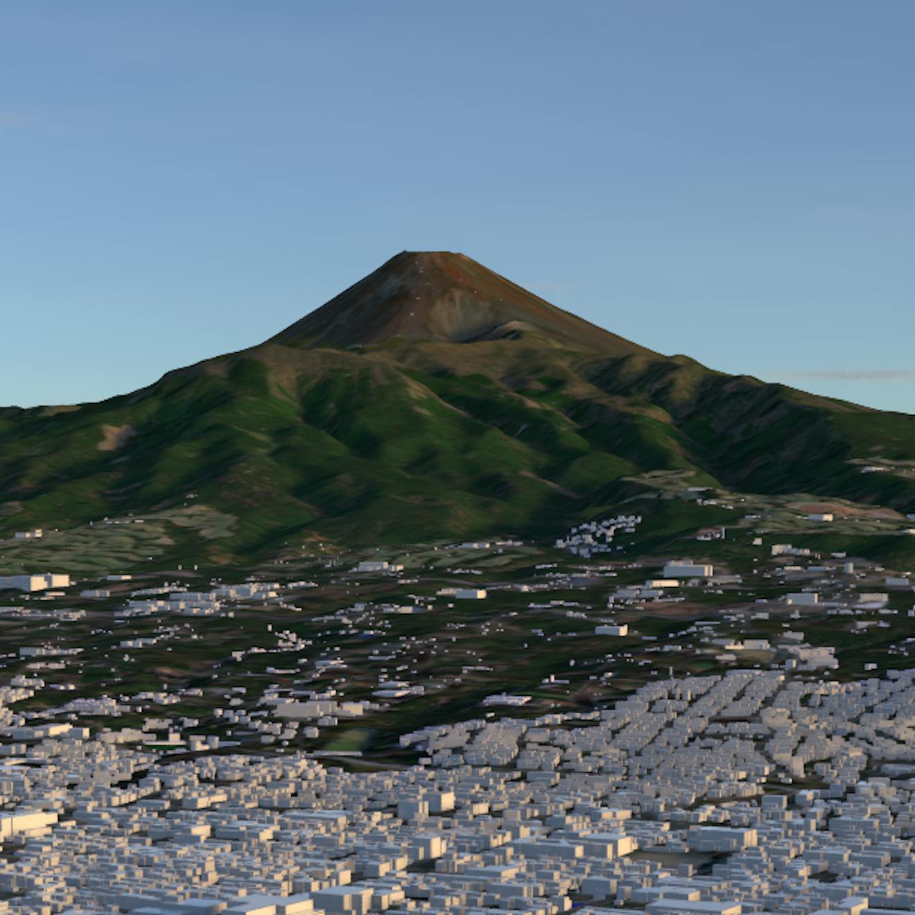
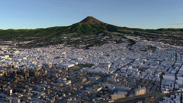
Japan 3D Buildings and Japan Regional Terrain
Cesium’s Japan 3D Buildings dataset is a 3D Tiles layer with approximately 23 million individual buildings across the country of Japan. Japan Regional Terrain is a quantized-mesh terrain tileset covering the entire globe but with [XXXXXXXXXXX] data for all of Japan. Both data sets are available on Cesium ion, ready to use in custom applications with CesiumJS, Cesium for Unreal, Cesium for Unity, Cesium for Omniverse, or any client that supports 3D Tiles and quantized mesh terrain.
Japan 3D Buildings data is derived from Japan’s MLIT Project PLATEAU 3D City Model GML data and contains building data from over 210 wards, cities, towns, and villages across Japan, aligned with the Japan Regional Terrain dataset. The full list of locations included in this data can be found on the G Spatial Information Center website. The data includes textured and untextured buildings along with limited metadata including building location and height.
Japan Regional Terrain terrain data is based on the Fundamental Geospatial Data published by Geospatial Information Authority of Japan(GSI). [WHAT ELSE TO SAY?]